

Currently, I am studying how the largest current in the world is slowing down with stronger winds and how this leads to heat transport towards Antartica.
With a trend in the world’s population moving towards the coast, increasing storm intensities and continuous sea level rise, the population is becoming more susceptible for coastal flooding. In the last two decades, the melting rate of the Antarctic Ice Sheet has accelerated, and it is now one of the biggest contributors to global sea level rise. Therefore, it is becoming increasingly important to understand the warming of the southern waters.
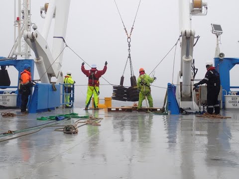
The Antarctic Circumpolar Current (ACC) that encircles Antarctica, acts for most of its path as a barrier between north-south transfer of heat. However, in a few places where the current interacts with changes in topography, the elsewhere relative straight current starts meandering. These standing meanders steepen with stronger winds and when they become unstable they generate more eddies. Eddies or vortices are effective in mixing deep and shallow water, such that the current is slowing down and heat is transported towards Antartica.’
Recent and historic low-frequency, high-impact events have demonstrated the flood risks faced by exposed coastal areas in Europe. On of the coastal areas is the coastline of the Kristianstad Municipality in Sweden, which is one of the 11 case studies in which we applied the the RISC-KIT tools.
Risk can be defined as the product of the probability of a hazard and its consequences. Both are likely to increase in the future. The hazard probability may go up due to a changing climate with more frequent and violent hazards of surge-driven floods, wind damage, erosion, overtopping and rain-driven flash floods. Also, the consequences will increase. These consequences (or impacts) are composed of two factors: the direct exposure (the density of receptors, e.g. number of people and buildings in an affected area) and vulnerability (receptor value and their sensitivity to experience harm).
The number and value of receptors in the coastal area increases due to continued economic development and population growth. The sensitivity is also increasing e.g. due to unsuitable building types. Moreover, due to ripple effects of disasters, indirect impacts will affect the EU hinterland since coastal areas are gateways to Europe.
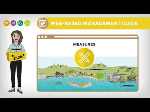
Please see the video on the left for a more detailed description of the tools in RISC-KIT.’
With an ever rising demand for mineral resources by global industry, and depletion of known reserves on land, the world may soon witness a new gold rush directed at mineral resources present at the ocean bottom.
Among these are the massive sulfide deposits locally formed by the precipitation of minerals vented out by the hydrothermal vents on the mid-ocean ridge. With no precedent in history, the impact of the newly developing deep-sea mining industry on the marine environment is still difficult to predict.
Apart from the direct impact resulting from the excavation of minerals, concerns are that large areas surrounding the mining area may suffer adverse effects from plumes of suspended solids produced in the mining process and carried along with bottom currents. Benthic fauna may suffer from suspended solids clogging their respiratory and feeding organs, depletion of oxygen and release of toxic concentrations of heavy metals. Adverse effects on the surrounding environment may also arise from light and noise produced by the mining machinery to transport excavated ore from the seabed to the sea surface and by vessels involved in the extraction, processing and transport of the ore to shore.
Therefore, before mining can be responsibly developed, it is important to know the nature and the scale of the impact on the marine ecosystem, and the potential for recovery on a reasonable time scale.
 Research outputs
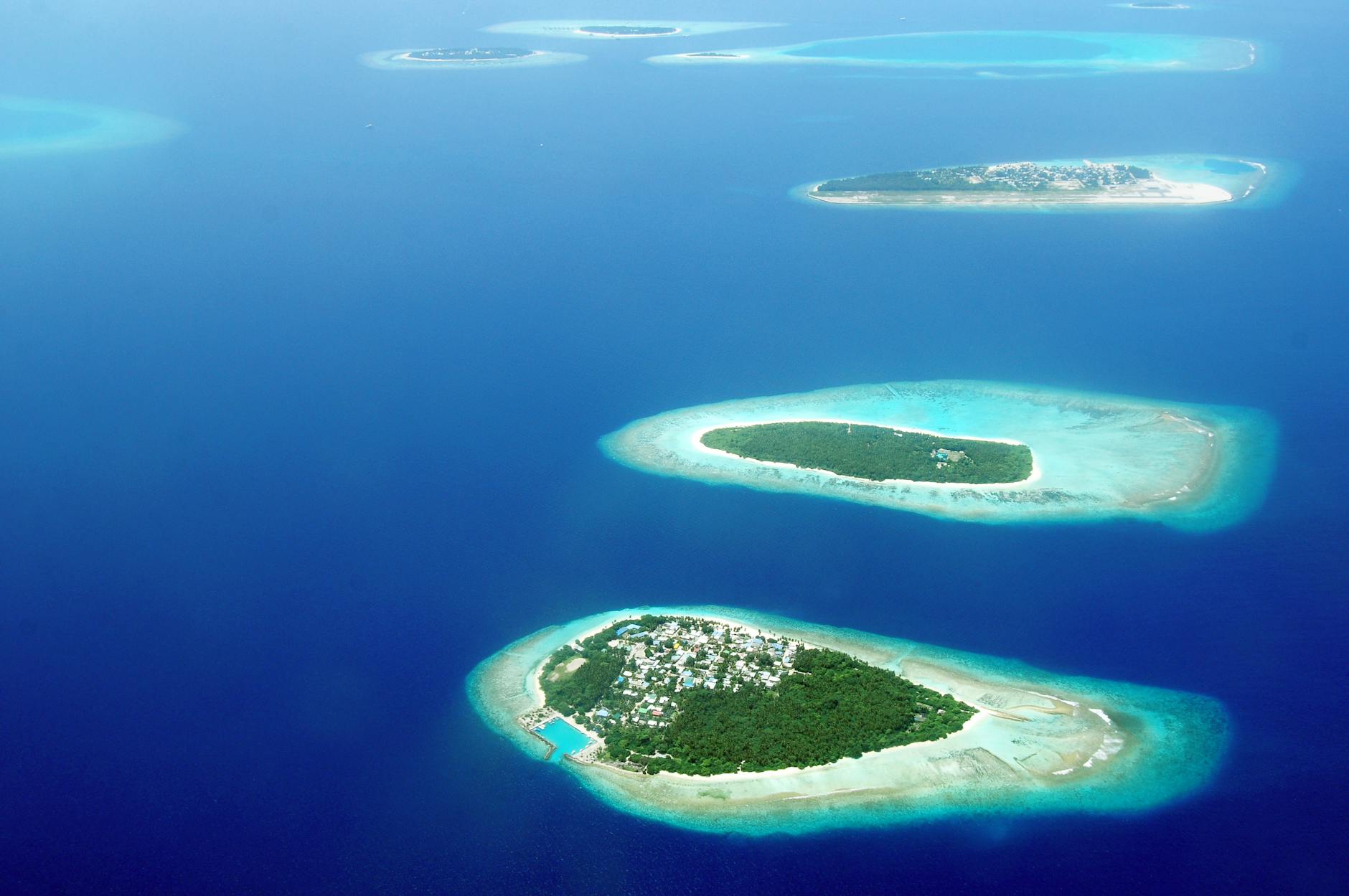
During my master thesis, I focused on how in tropical seas islands (coral cays) can form on so called platform reefs. Many platform reefs are found with nearly elliptical or circular shapes submerged just below mean sea level (MSL). Coral cays form on top of these reefs, possibly as a result of wave refraction, wave-generated currents and sediment transport. Due to climate change and human interventions these diverse, but vulnerable ecosystems are at risk of disappearing and therefore the formation and variability are worth understanding.
In a previous study, a ray tracing model was used to simulate the process of waves refracting into energy convergence zones (ECZ), where sediment may accumulate and cays may form. In this thesis the advanced numerical wave, flow and sediment transport model XBeach, is employed to examine the effect of additional processes on the formation of coral cays, such as wave breaking, bottom friction and advection of sediment by wave-generated flow.
Model simulations are performed for low and high waves and low and high tidal levels. Refraction causes also in the numerical model high energy convergence zones, but low energy convergence zones are absent due to the absence of diffraction in the model. Low water levels cause a different flow regime compared to MSL and high water level conditions, and need further research. Spatially, erosion and sedimentation patterns are similar for MSL and high water level conditions, but intensified during high water levels. Therefore, it is likely that cays are formed during high water level conditions.


